Alesha Roll has joined the Iowa NASA EPSCoR (Established Program to Stimulate Competitive Research) and Iowa Space Grant Consortium (ISGC) in the role of program specialist. Alesha is a 2017
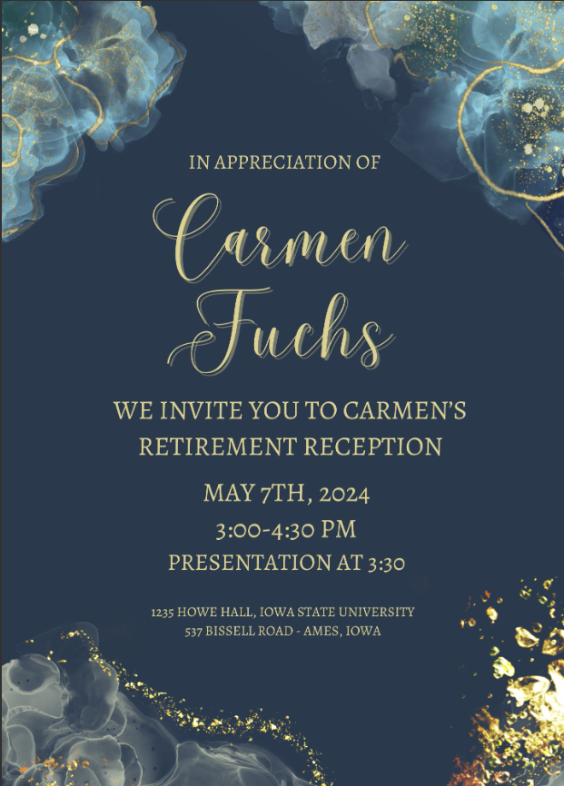
It is with our deepest appreciation that ISGC says a well deserved goodbye to Program Coordinator, Carmen Fuchs. Carmen has been a leading force of ISGC for the past 32+
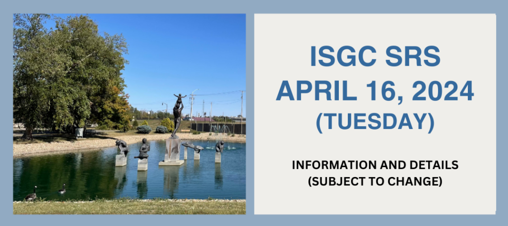
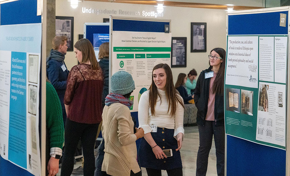
The Iowa Space Grant Consortium Spring Research Symposium (SRS) Tuesday, April 16th, 2024 Marshalltown Arts and Civic Center 709 S. Center Street Marshalltown, Iowa ISGC Undergraduate Research Scholars are required
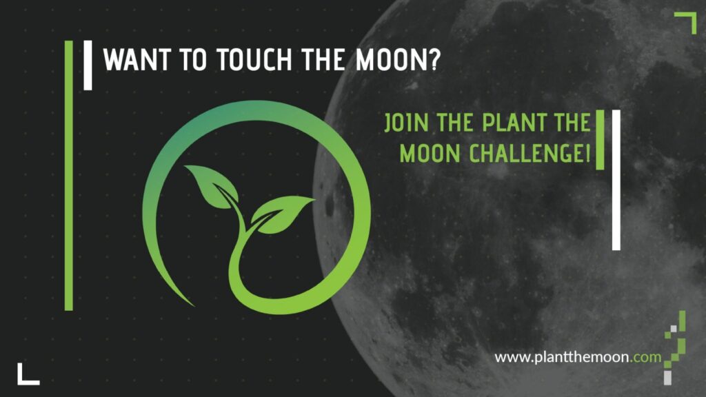
Get involved with the Plant the Moon Challenge! There are two upcoming events we wanted to make sure you had on your calendars: Spring Season Closing Symposium, May 15, 6pm
U.S. and Canadian National Model STEM Education Program Opportunity Announcing the Student Spaceflight Experiments Program (SSEP) 20th Flight Opportunity – SSEP Mission 18 to the International Space Station, Starting September
Check out the newly released annual report “NASA STEM Engagement Highlights 2022”! This is the third annual report, and this provides a vivid snapshot in words and pictures of the
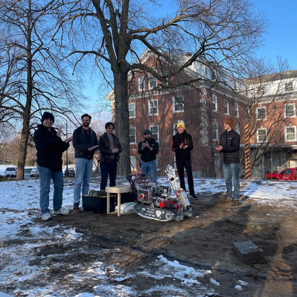
ISGC Student Hands-On Spotlight: Cardinal Space Mining Club at Iowa State University The Cardinal Space Mining Club is a student organization affiliated with Iowa State University. As a group they
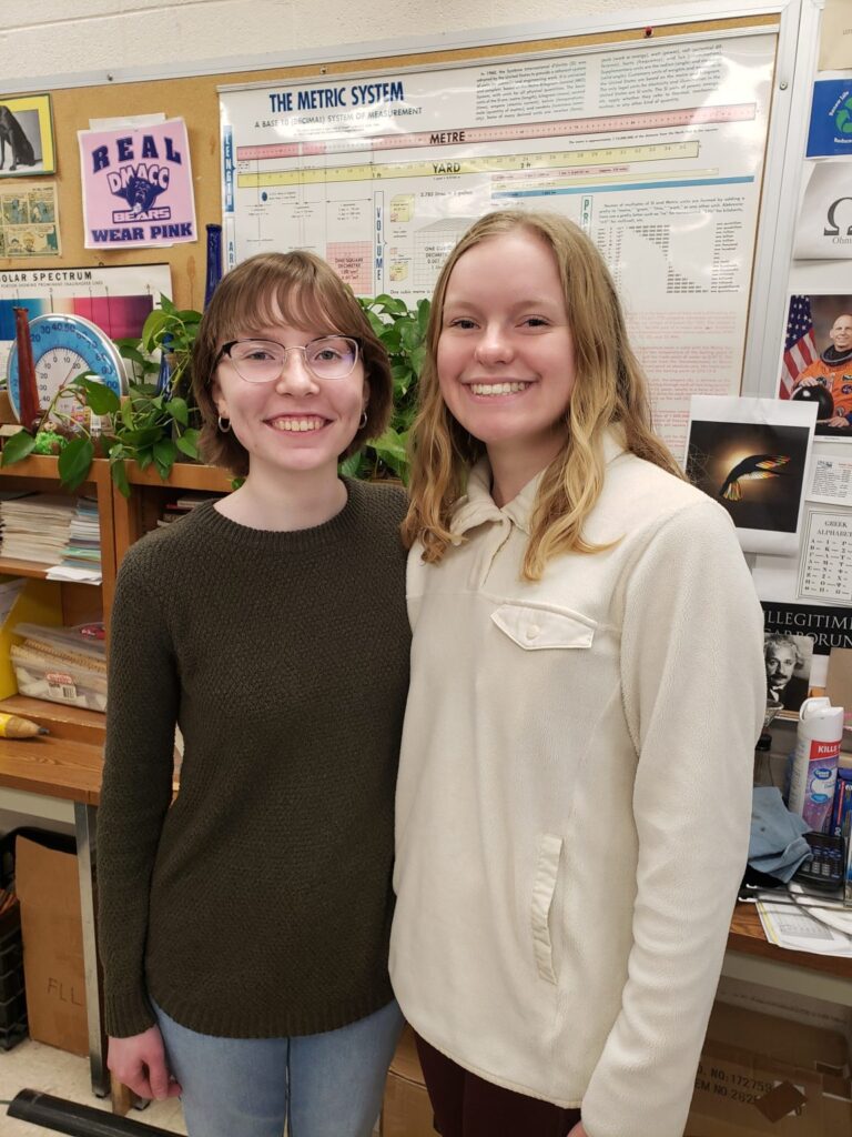
Congratulations to Allison Arnold (left) and Kaylin Petrak (right) from the Boone Campus DMACC! They both successfully completed “Mission 1: Discover” of NASA’s NCAS (NASA Community College Aerospace Scholars’) Program
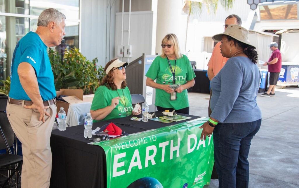
NASA’s Earth Day Briefing for Students is a hybrid event for all informal and formal middle and high school educators and students. All schools are welcome to join virtually as
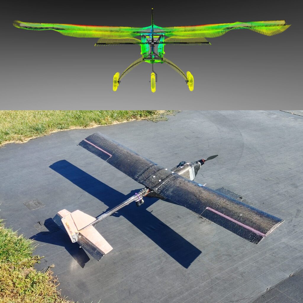
ISGC Student Hands-On Spotlight: OpenUAS (Unmanned Aircraft Systems) at Iowa State University The OpenUAS project is a multidisciplinary undergraduate research team that is aimed at developing an open-source fixed wing
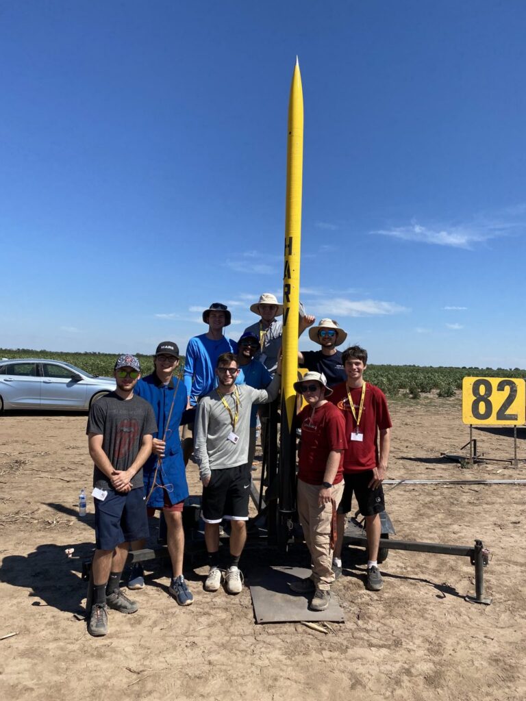
ISGC Student Hands-On Spotlight: Cyclone Rocketry Rocket Shop Cyclone Rocketry is a multidisciplinary engineering team from Iowa State University that works yearly to research, design, manufacture, test, and fly high-powered